 3b3f8dcd5f
|
||
|---|---|---|
| .github | ||
| public | ||
| src | ||
| .gitignore | ||
| LICENSE | ||
| README.md | ||
| index.html | ||
| package-lock.json | ||
| package.json | ||
| tsconfig.app.json | ||
| tsconfig.app.tsbuildinfo | ||
| tsconfig.json | ||
| tsconfig.node.json | ||
| tsconfig.node.tsbuildinfo | ||
| vite.config.ts | ||
README.md
🗺️ map3d
Generate a real world 3D map
About The Project
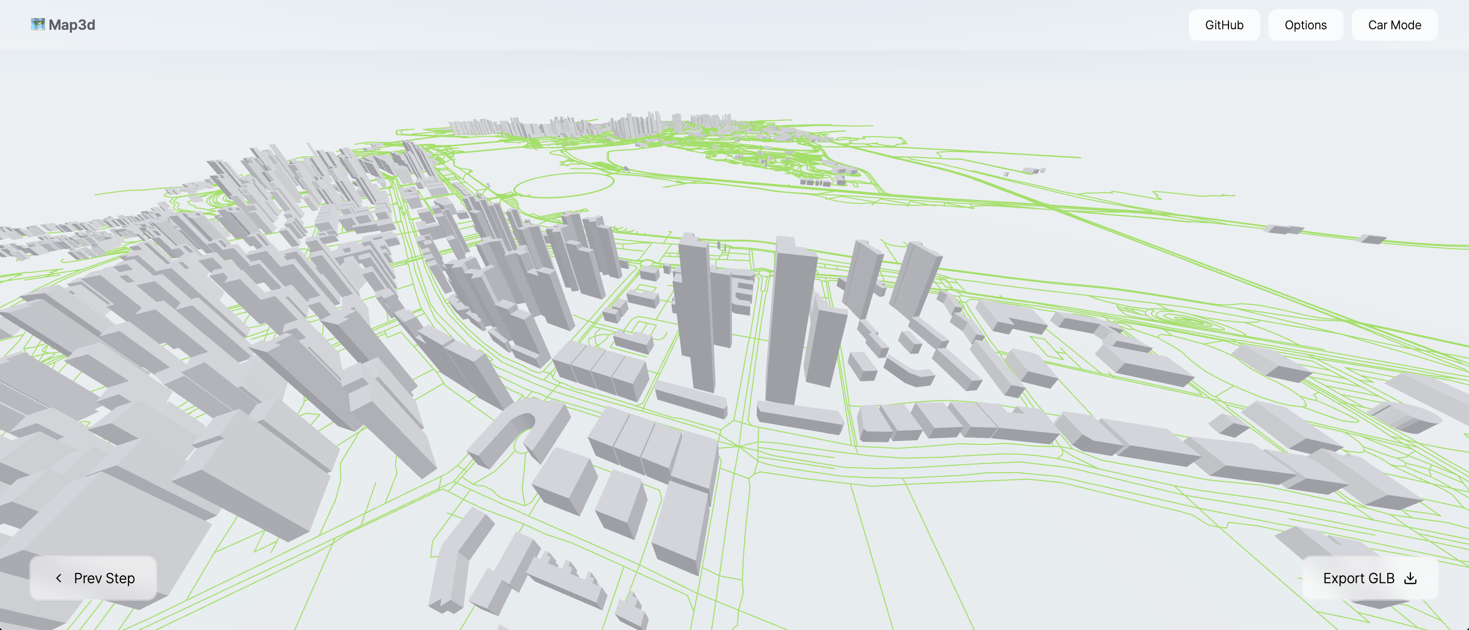
This is a 3D building mapping service implemented with React-Three-Fiber. It allows exporting as a GLB file, and all features are free to use. Based on this project, various functionalities such as digital twin, drone surveying, and GPS markers can be implemented.
The map files are based on OpenStreetMap data.
https://github.com/user-attachments/assets/1b61c2f8-dcf9-40bb-9804-59f6a74594dc
Roadmap
- Export GLB
- Building Texture
- Height Customization
- Material